Follow the checklist
Caprera, Italy We have been very disciplined about flying the drone over the last five years and have completed...

Until we arrived in Venezuela, our electric charts and chart plotters had served us well, guiding us through difficult passages and around shoals and coral reefs with accuracy measured in feet.
As we approach Blanquilla, things appeared to be a little off on the chart plotter. The problem was confirmed as we navigated along the island into what looked like the anchorage and the plotter showed us crossing onto land. While the island was shaped like it was on the chart, it was offset by almost one half of a mile. All of the manuals and guides warned us that you can’t rely on your chart plotters but for us, this was the first time there was a significant difference.
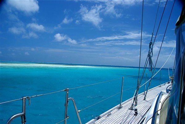
So for our time in Balanquilla and Los Roques we had to use “eyeball” navigation to get us safely around the many reefs and shoals. We came to call this “following the dark blue road” as the darker blue water was the deepest and could be seen clearly in good light.
In Los Roques, the water quickly shoals from over 100 feet to zero and we were sailing between reefs that were breaking the surface less than 50 feet apart. Other times we wound through paths and ended up anchored in what looked like open water, with no islands between us and the Caribbean Sea. After a week of this, we got good at reading the water colors and were comfortable navigating into small anchorages without any charts.
